Below are 7 short slideshows that highlight different parts of our Japan travels during September and October this year.
This was on Sado Island which is off the west coast in the Niigata Prefecture…


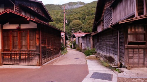
We rented a car and did a big loop from Nagano to Sado Island, to Tsuruoka (where the Art Fields are), then to Yamagata, and then back to Nagano…

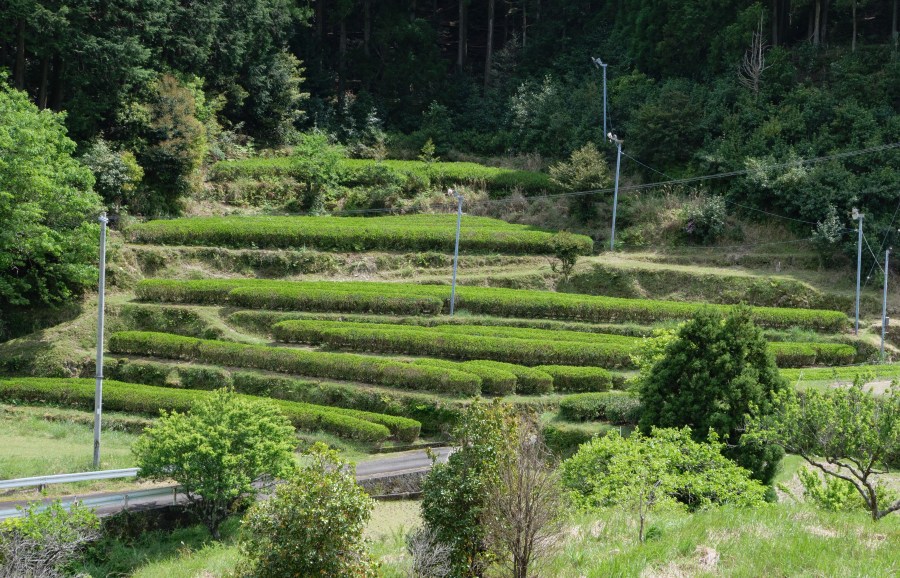
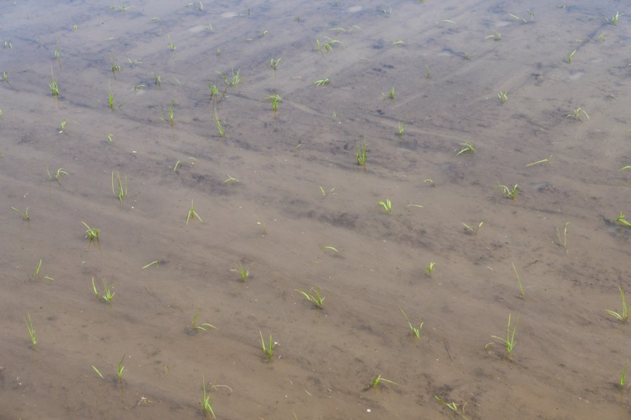
Rice Fields 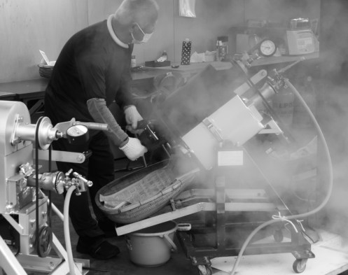
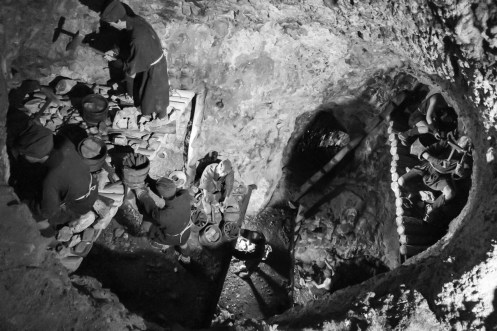
Roasting Chestnuts 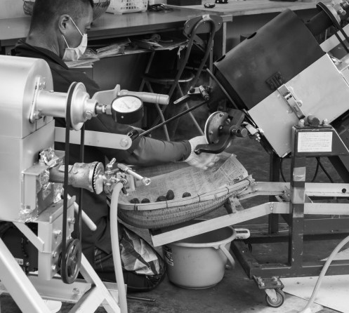


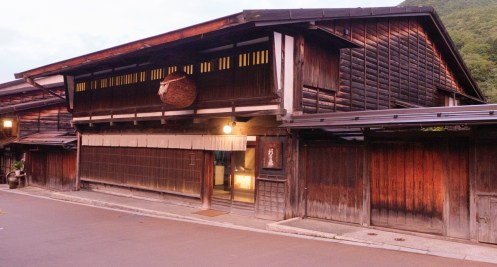
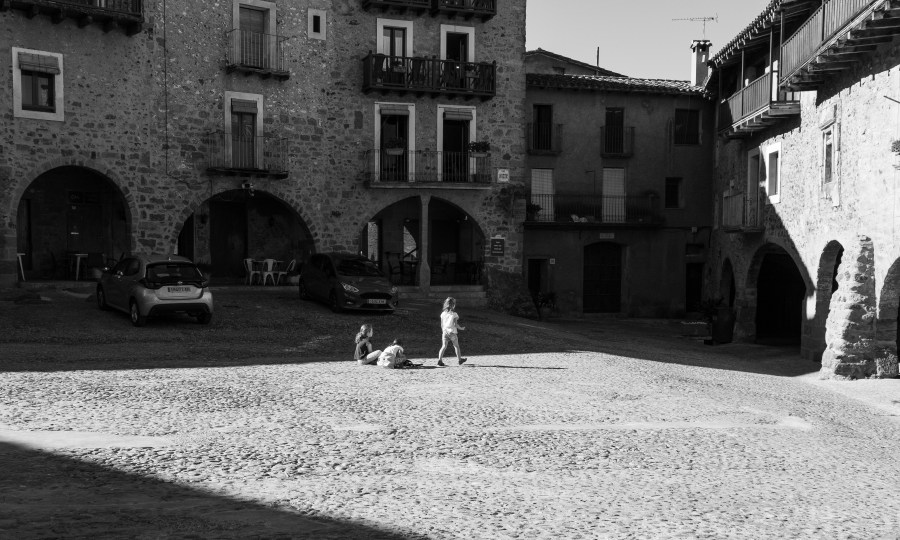
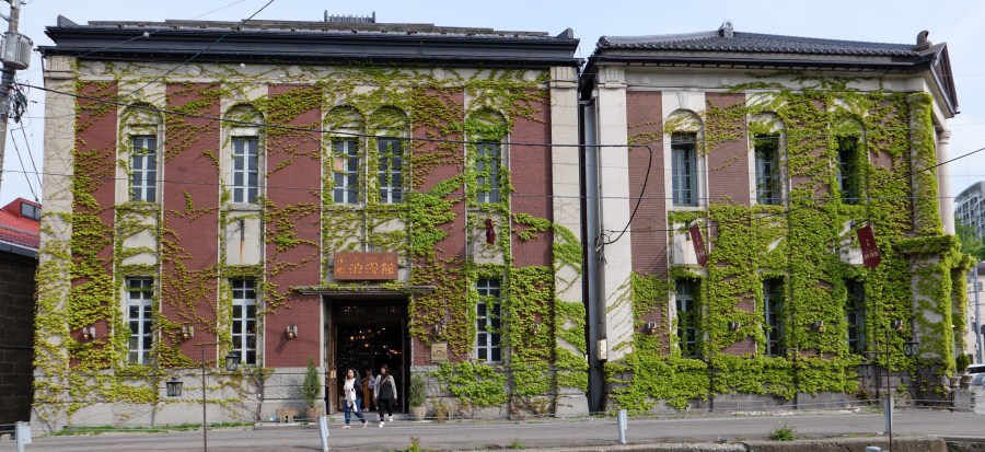
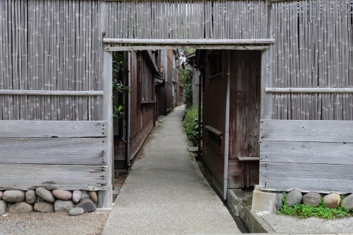
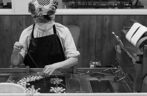
A beautiful building that was an Oyaki factory (Japanese dumplings) 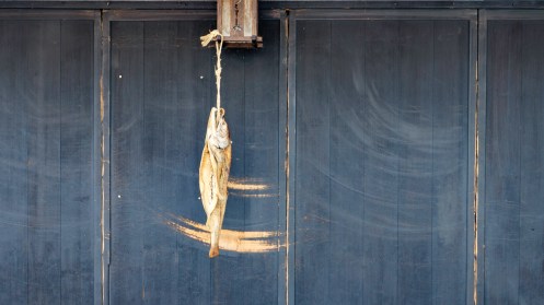
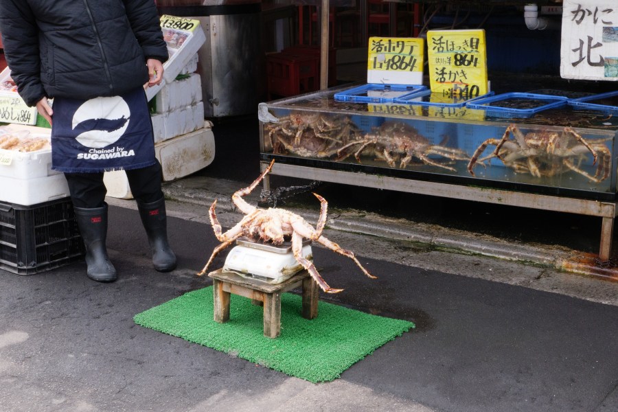
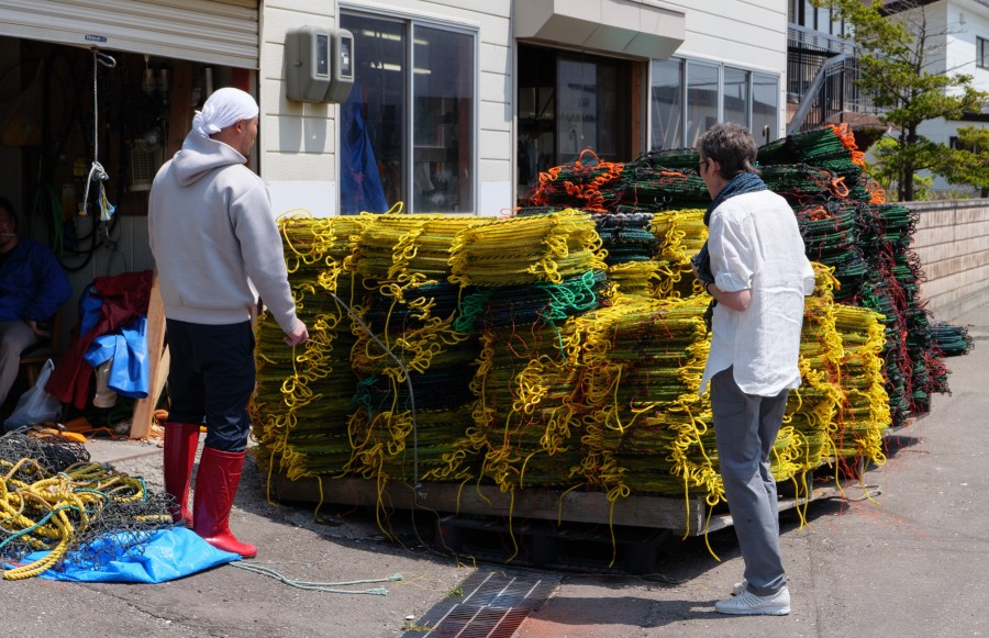
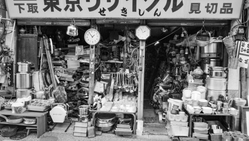
Fish shop store front 
That car has less than inch clearance on each side 
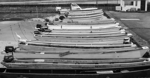
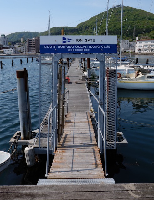
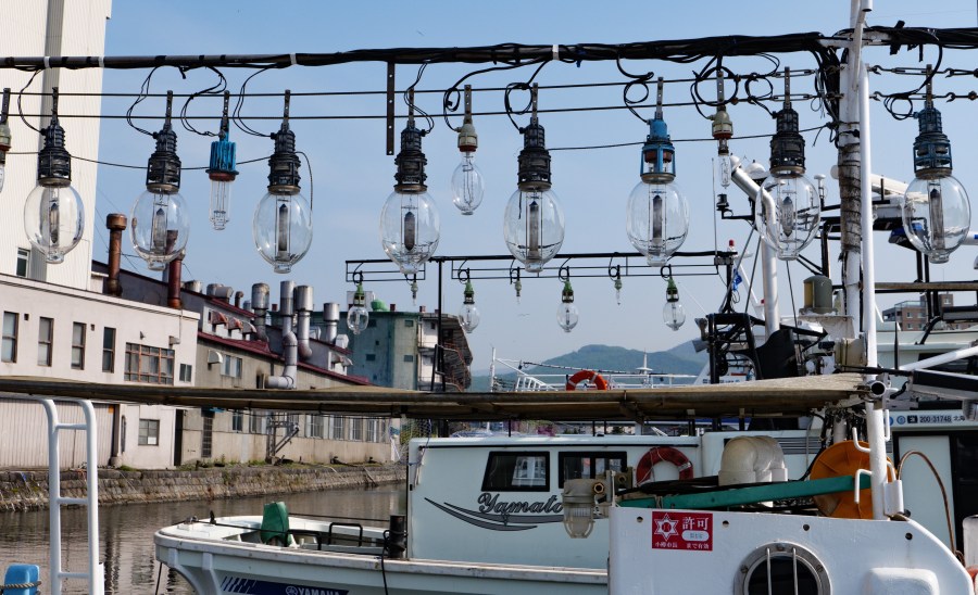
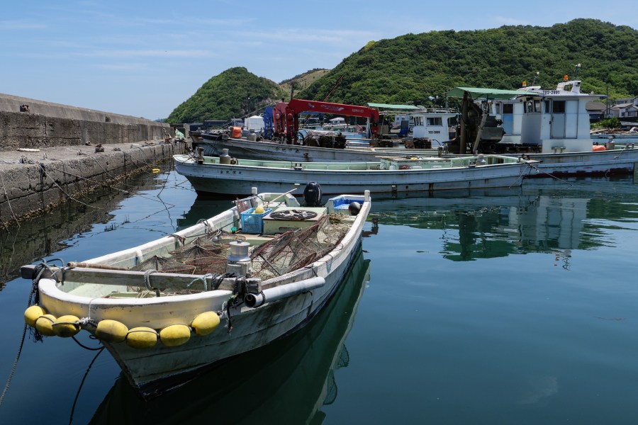
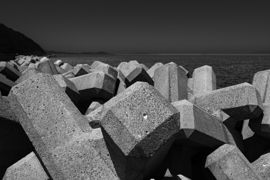
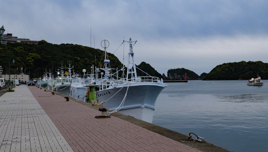
Fishing boats 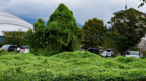
Kudzu is everywhere 
At a Silk Museum 


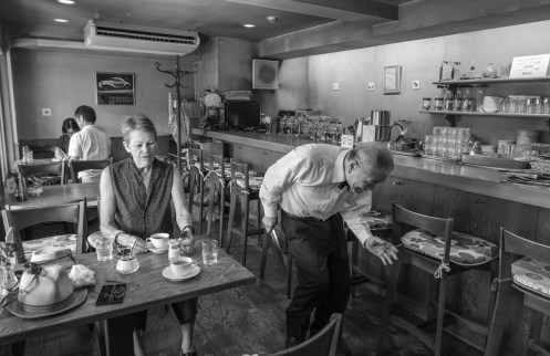
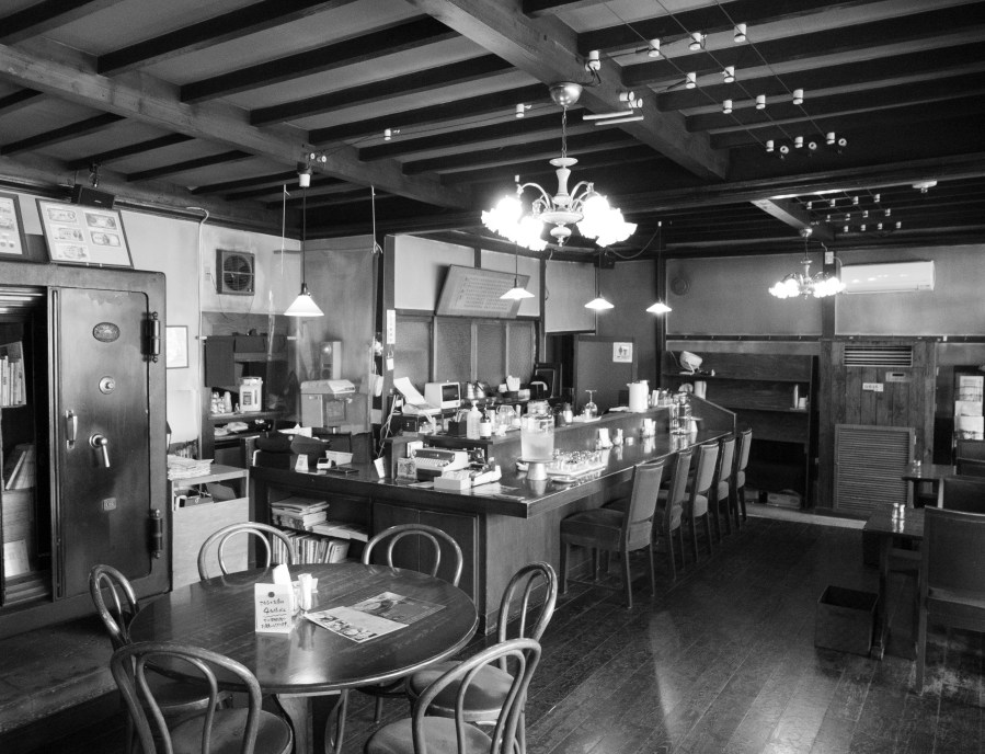
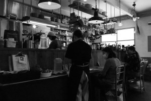
the dining room in one of our hotels 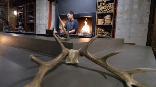

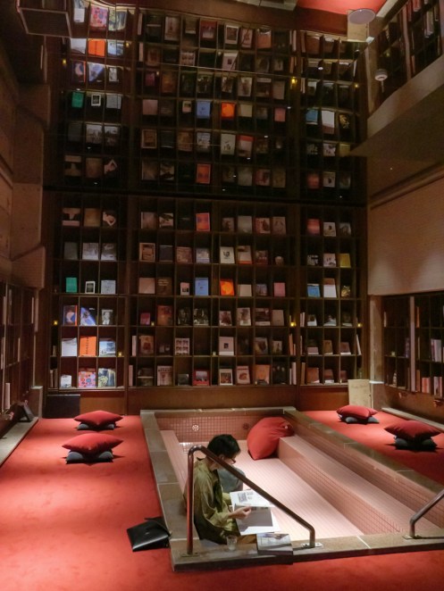
A reading room in the hotel 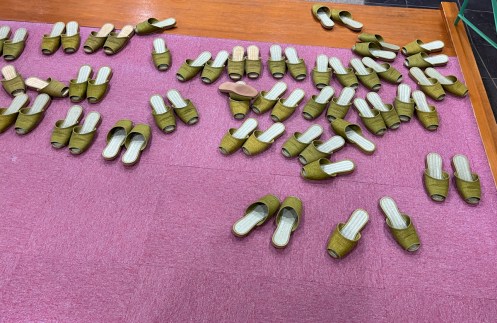
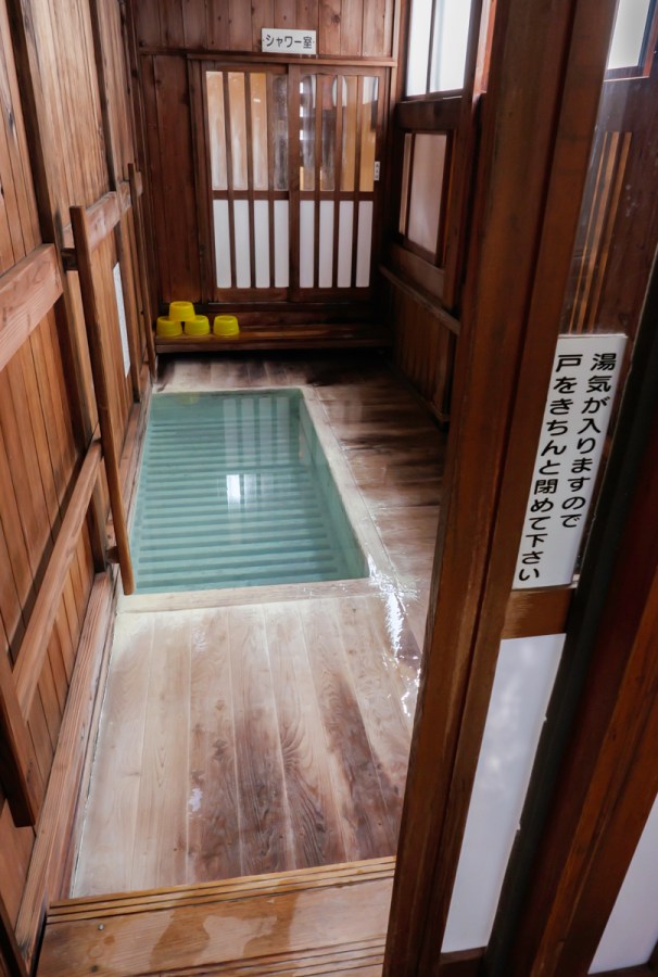
slippers at the entrance of a Ryokan 
On Alison’s birthday 

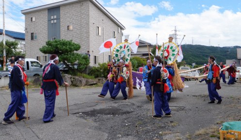
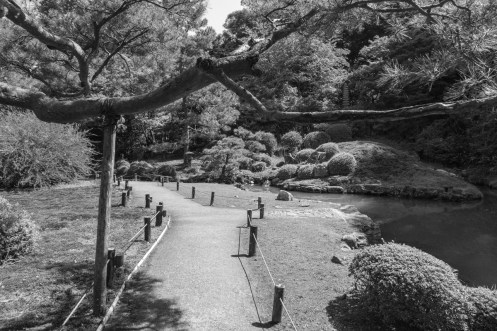
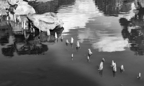
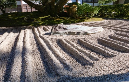
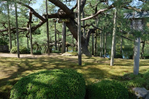
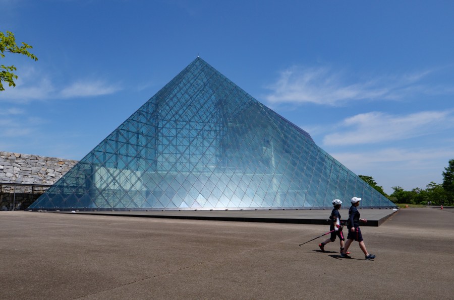
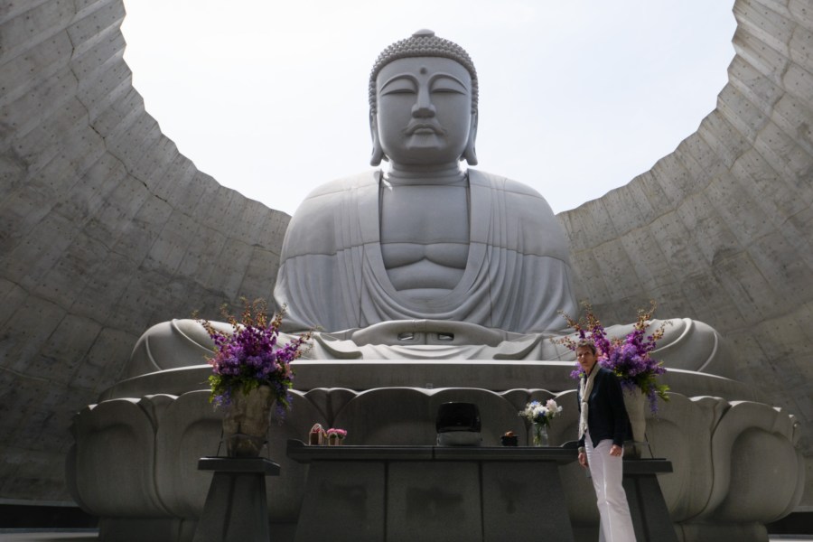
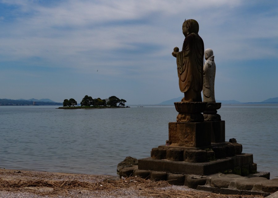
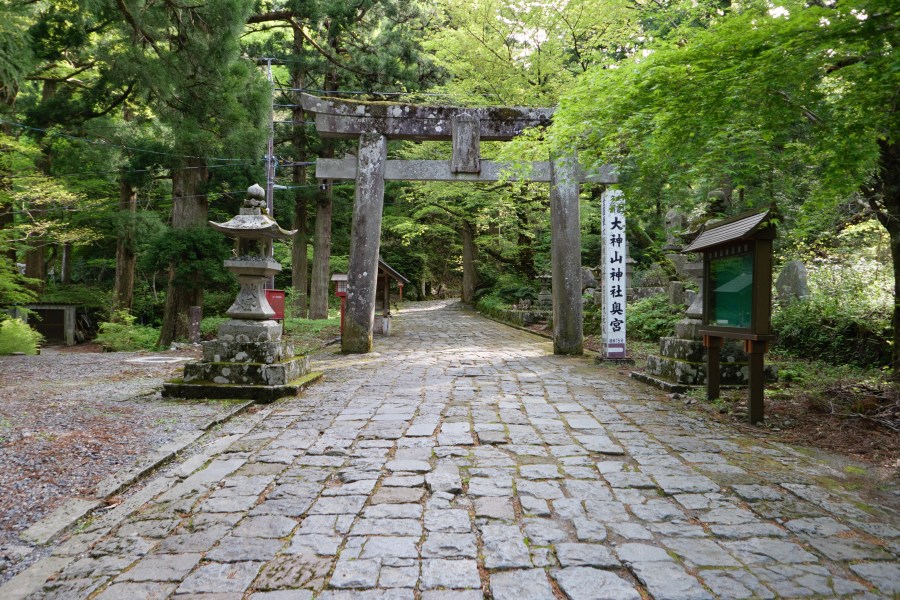
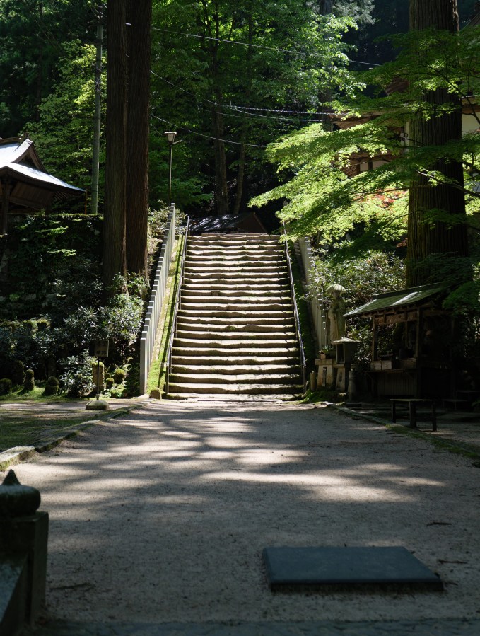
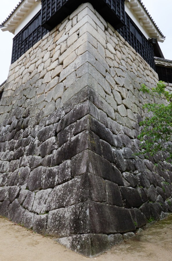
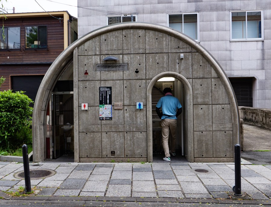
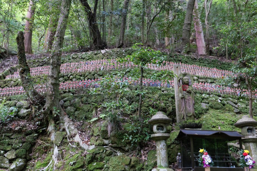
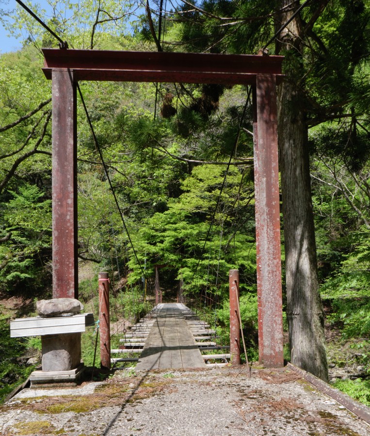
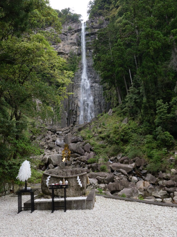
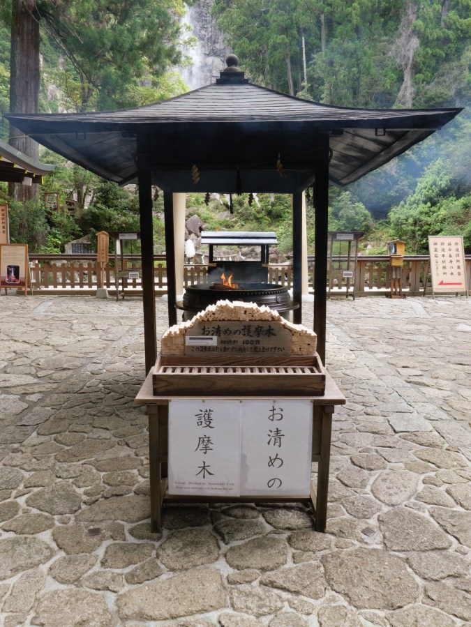
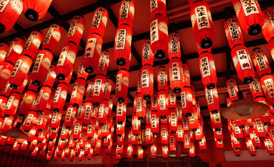
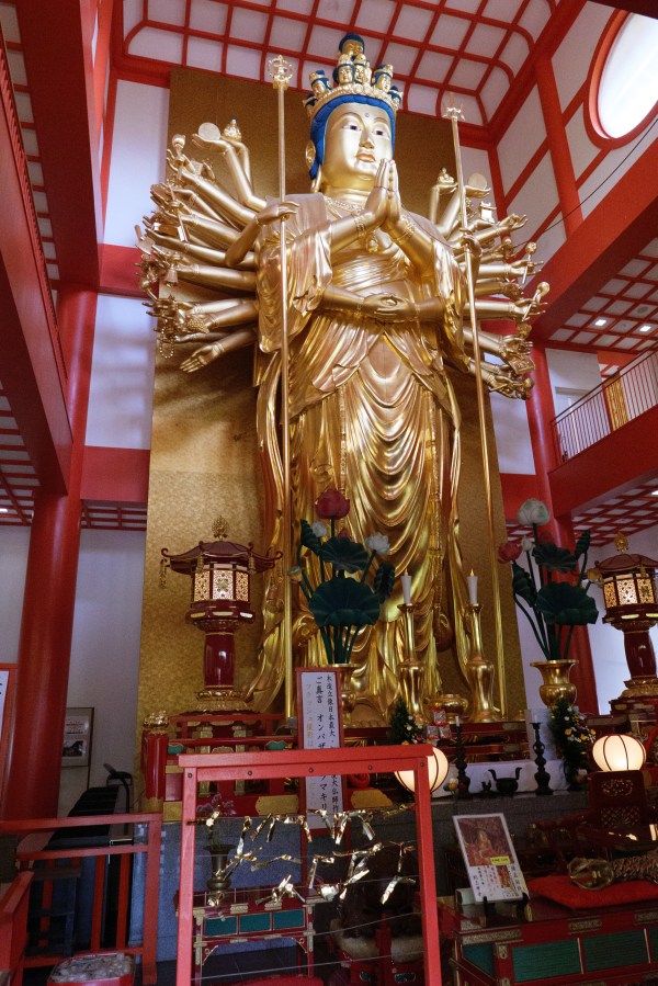
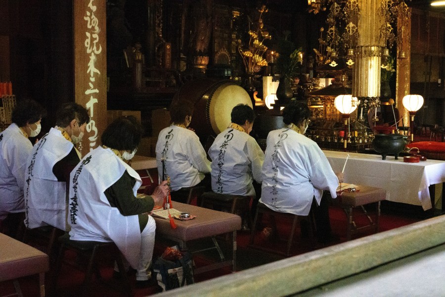
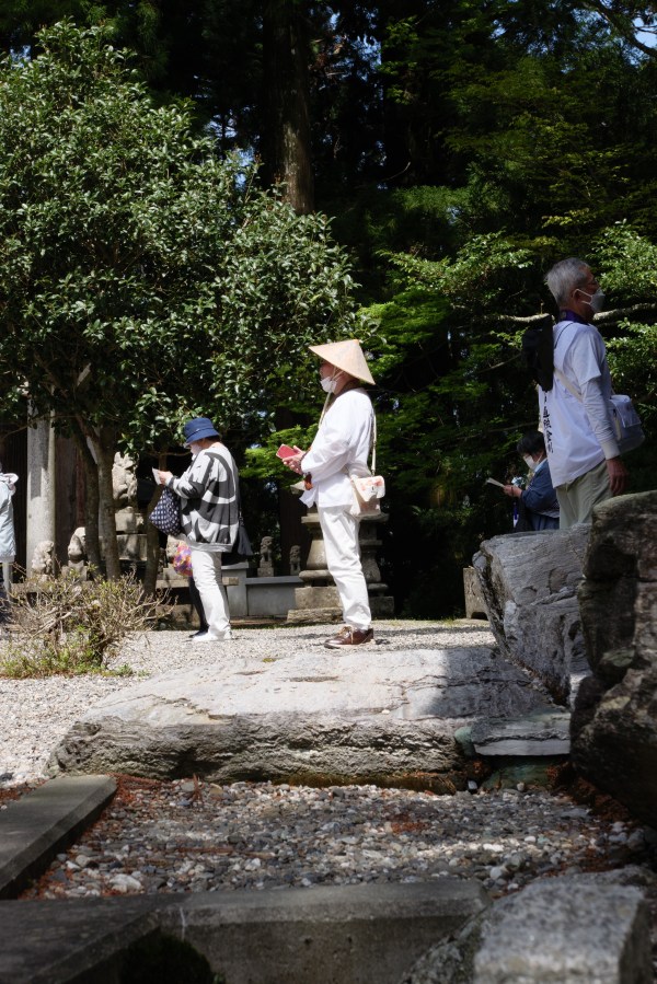
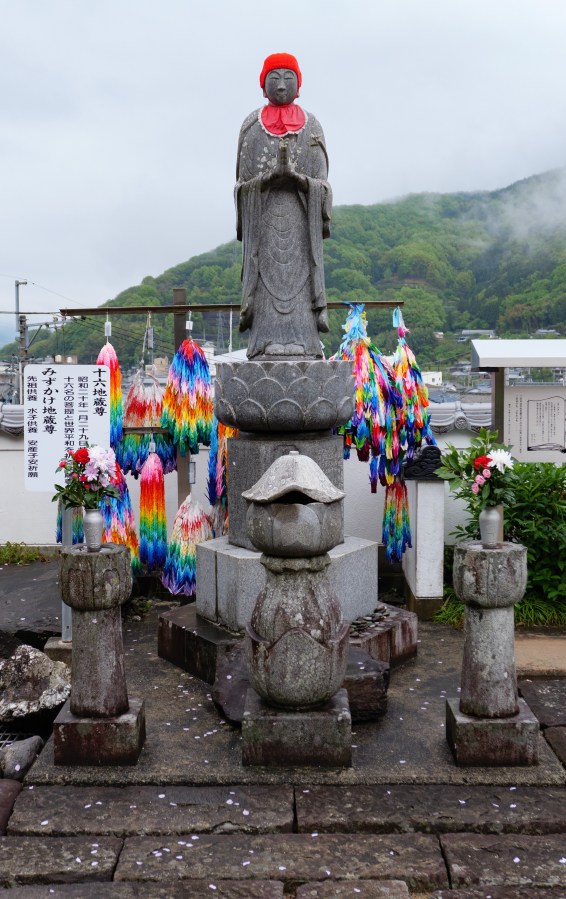
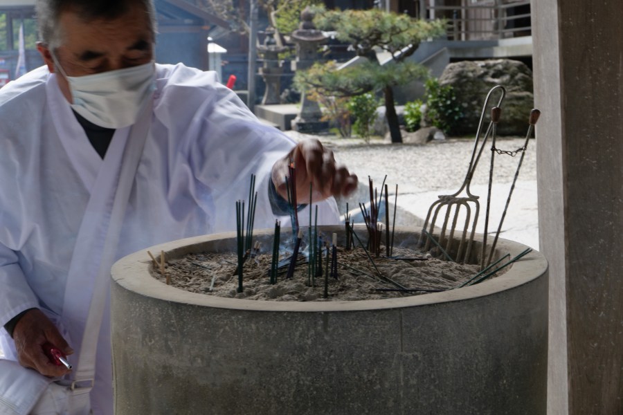
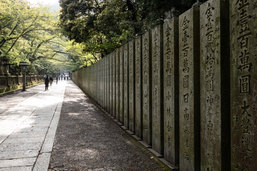
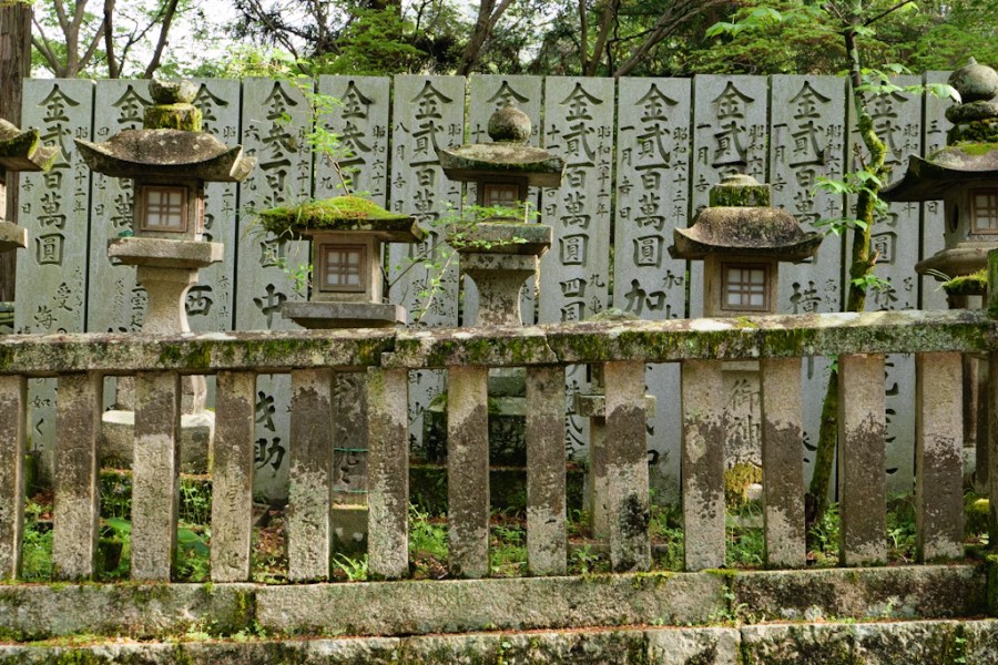
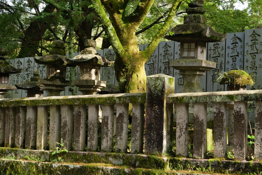
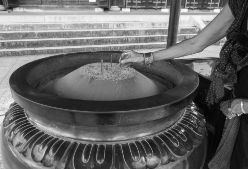
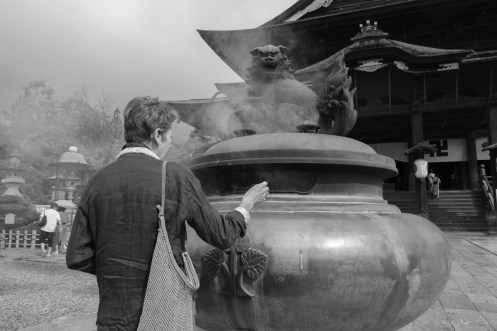
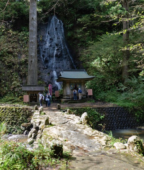
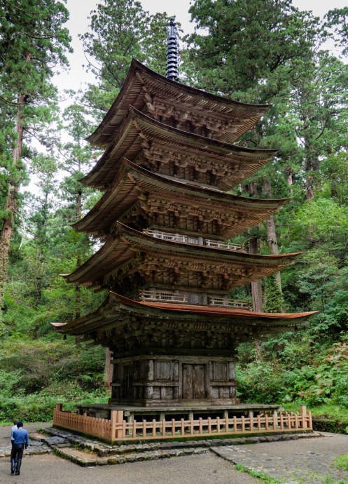
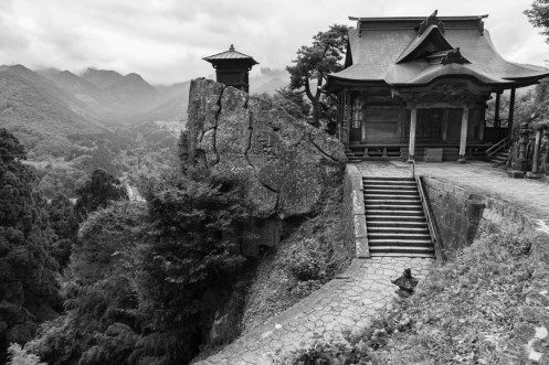
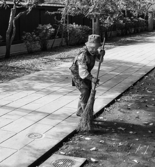
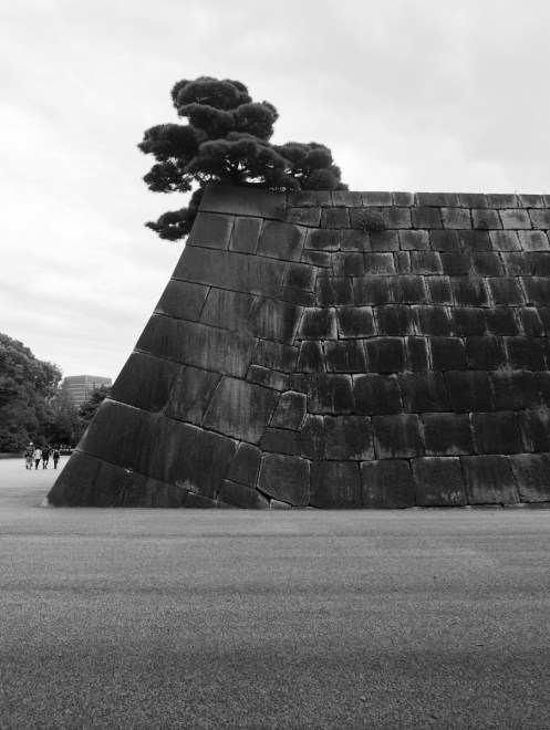
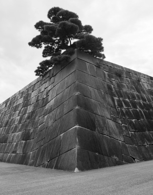
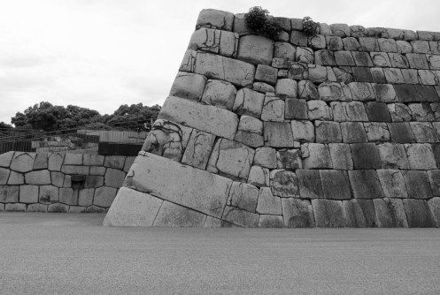
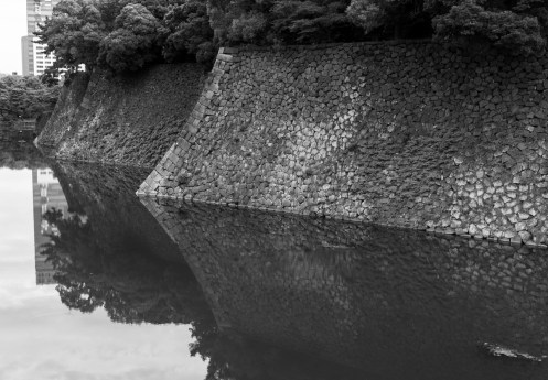
Temples and Shrines…


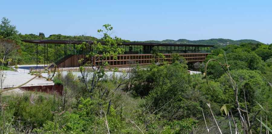
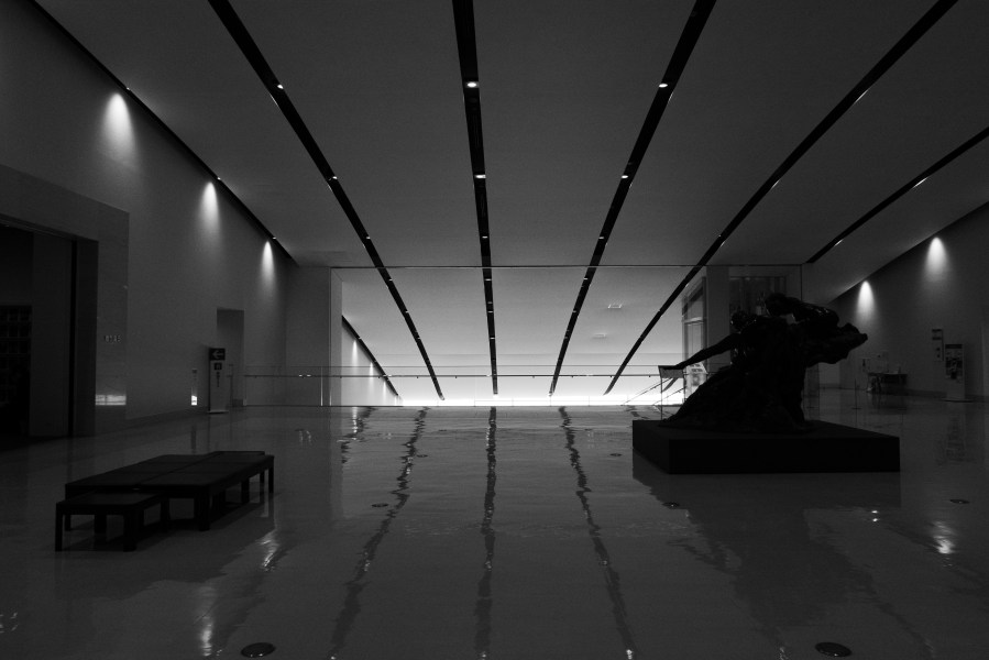
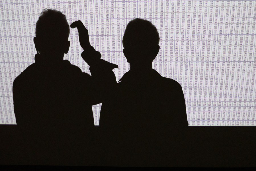
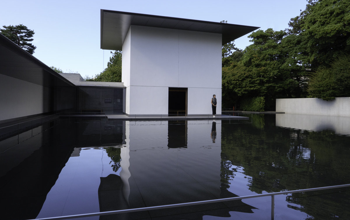
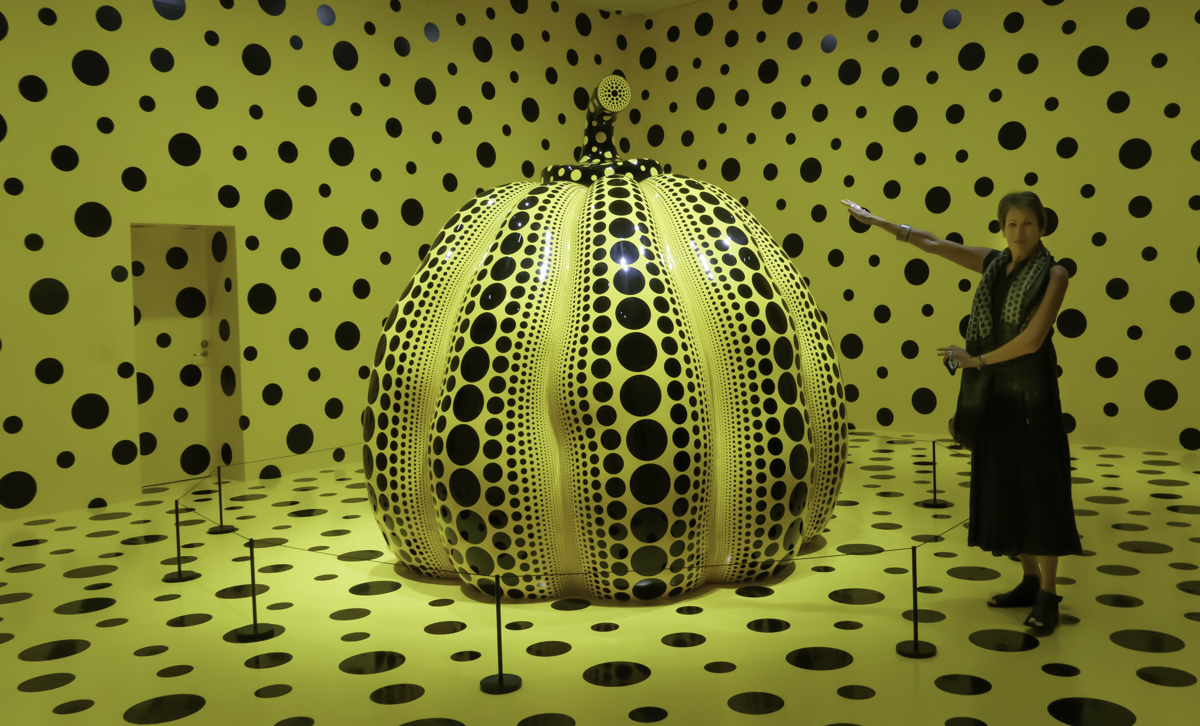
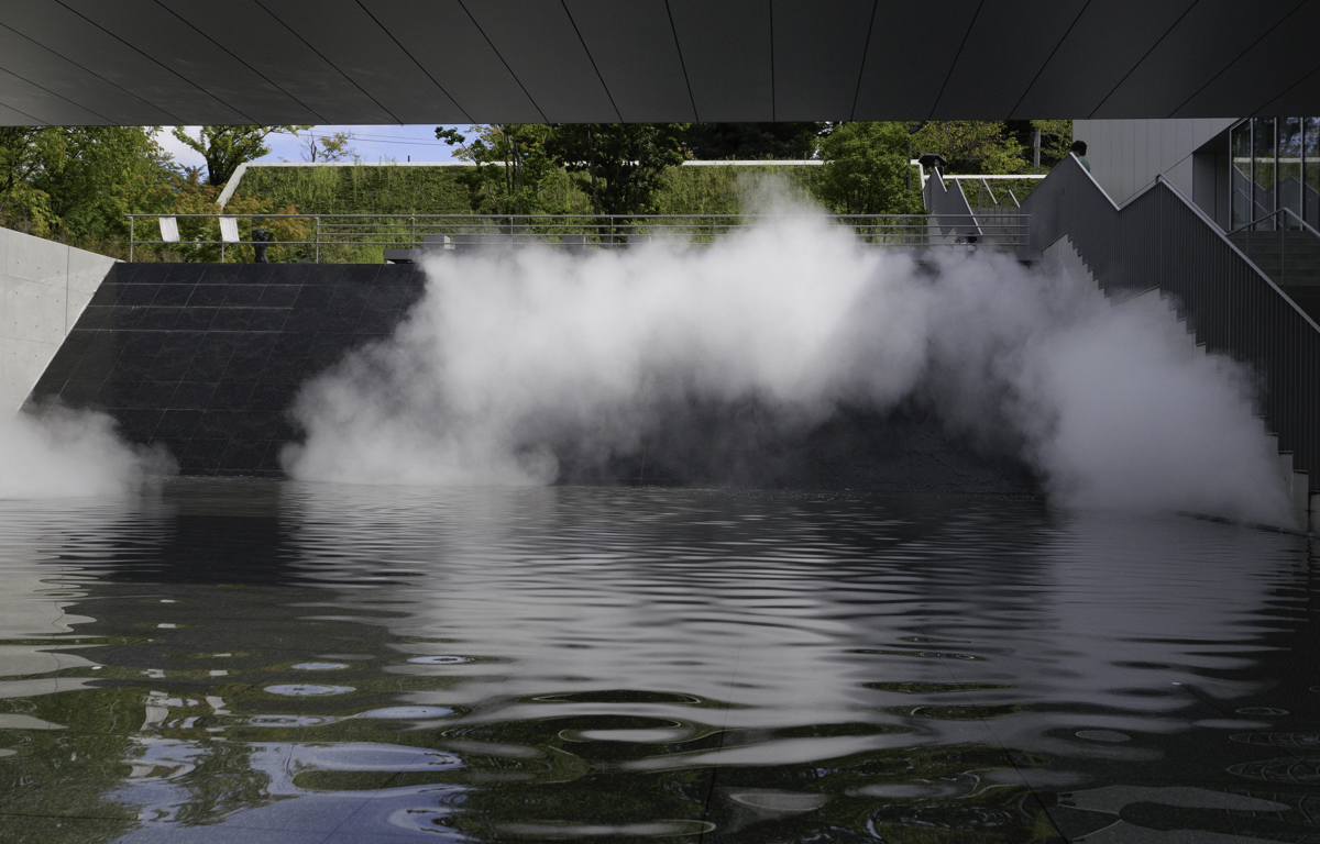
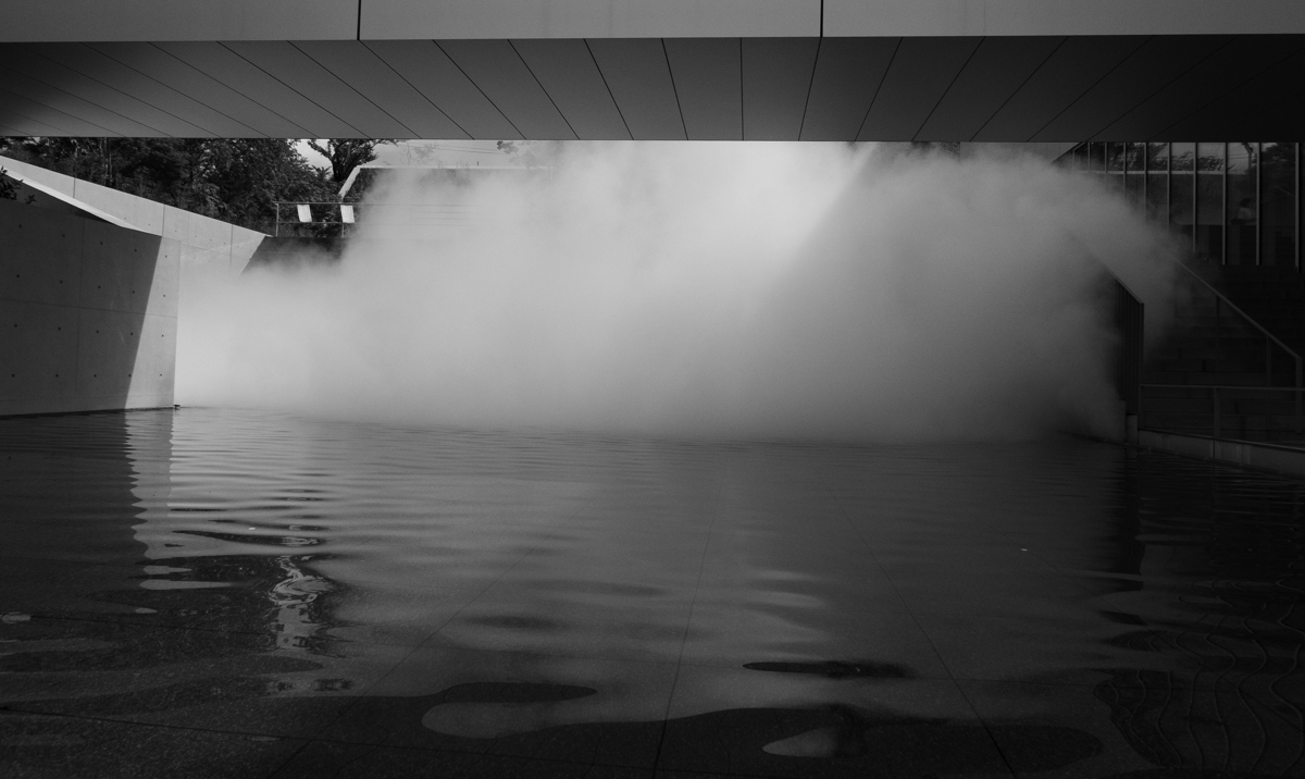
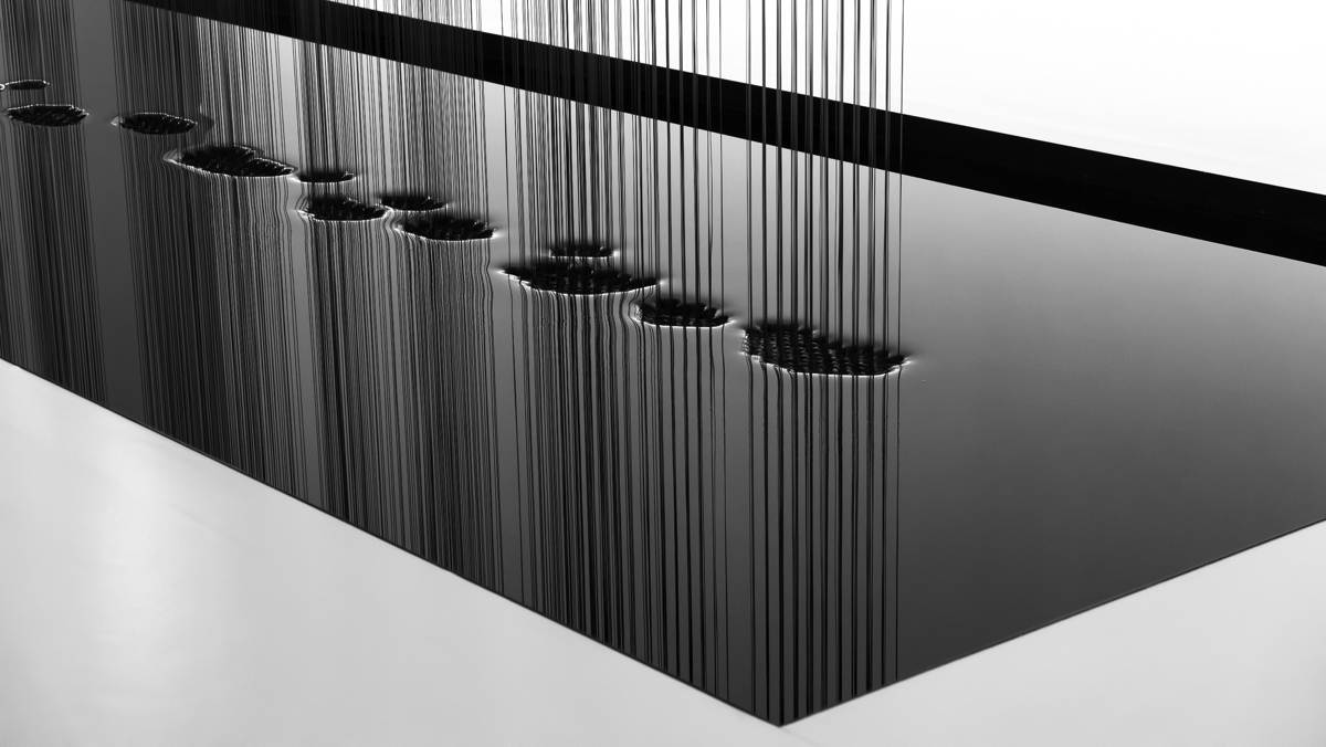
Various Museums we visited…


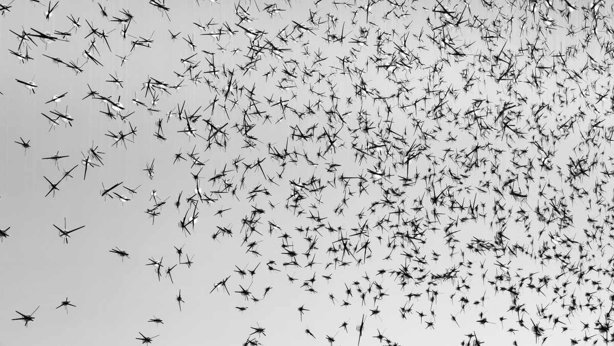


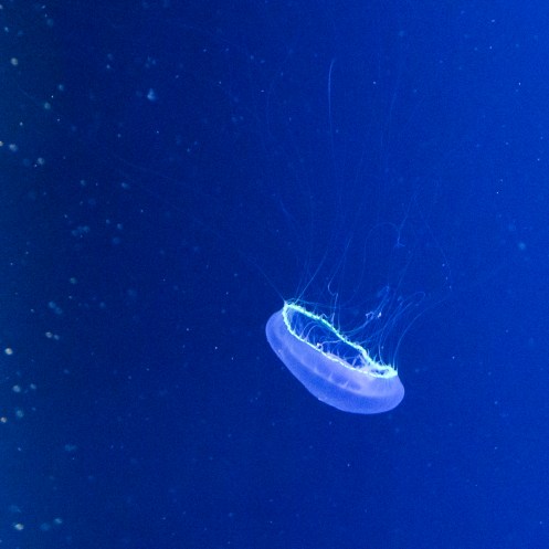
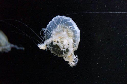
An amazing display of Jellyfish at the Kamo Aquarium on the coast south of Sakata


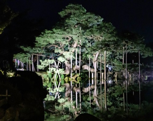
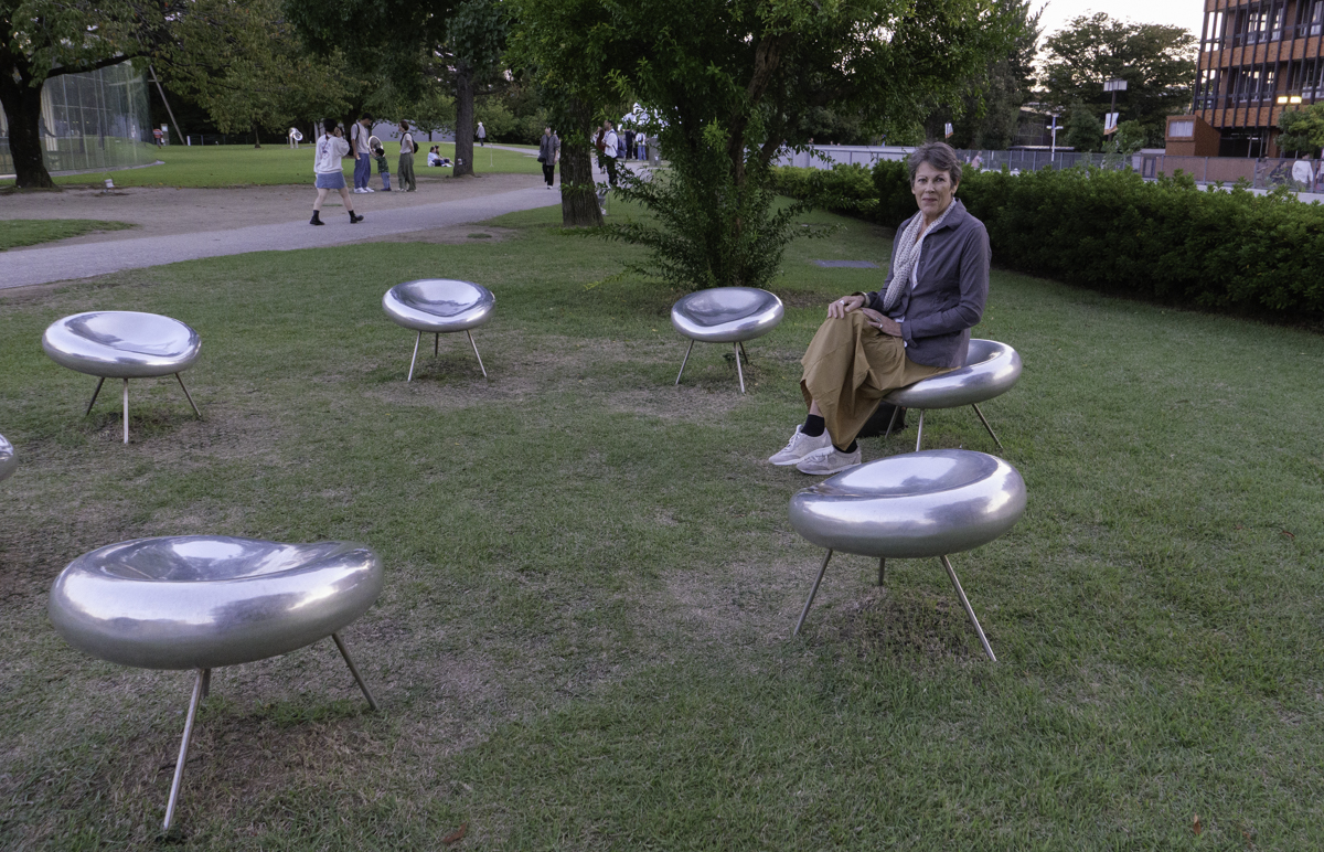
Kanazawa and Tokyo


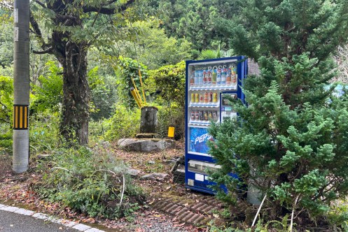
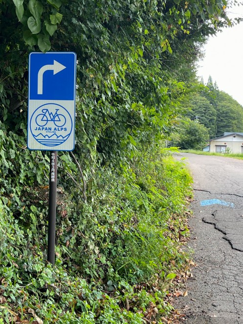
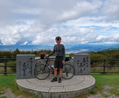
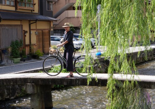
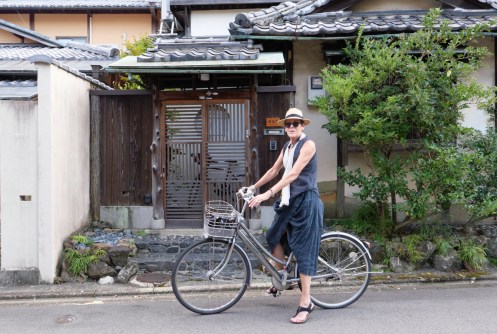
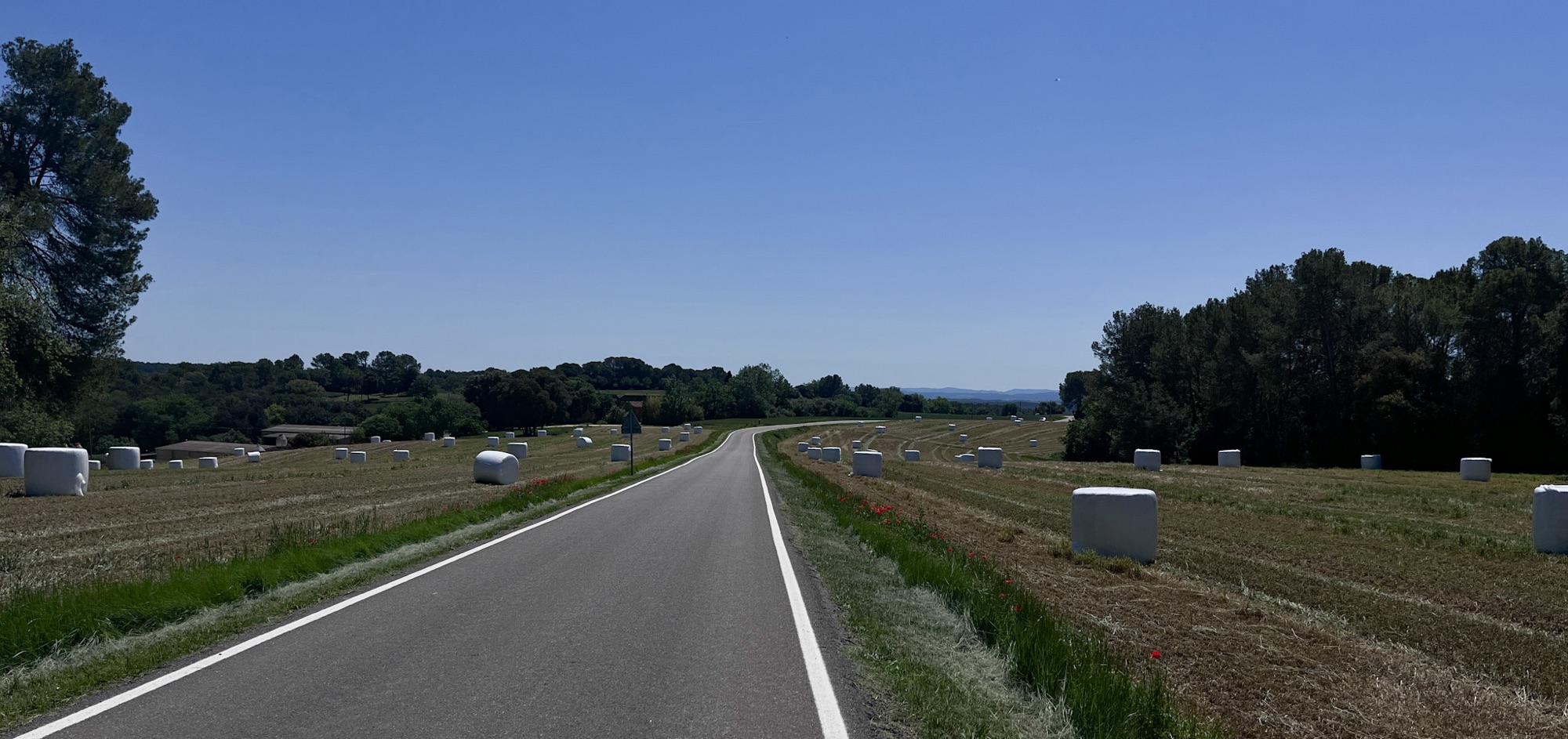
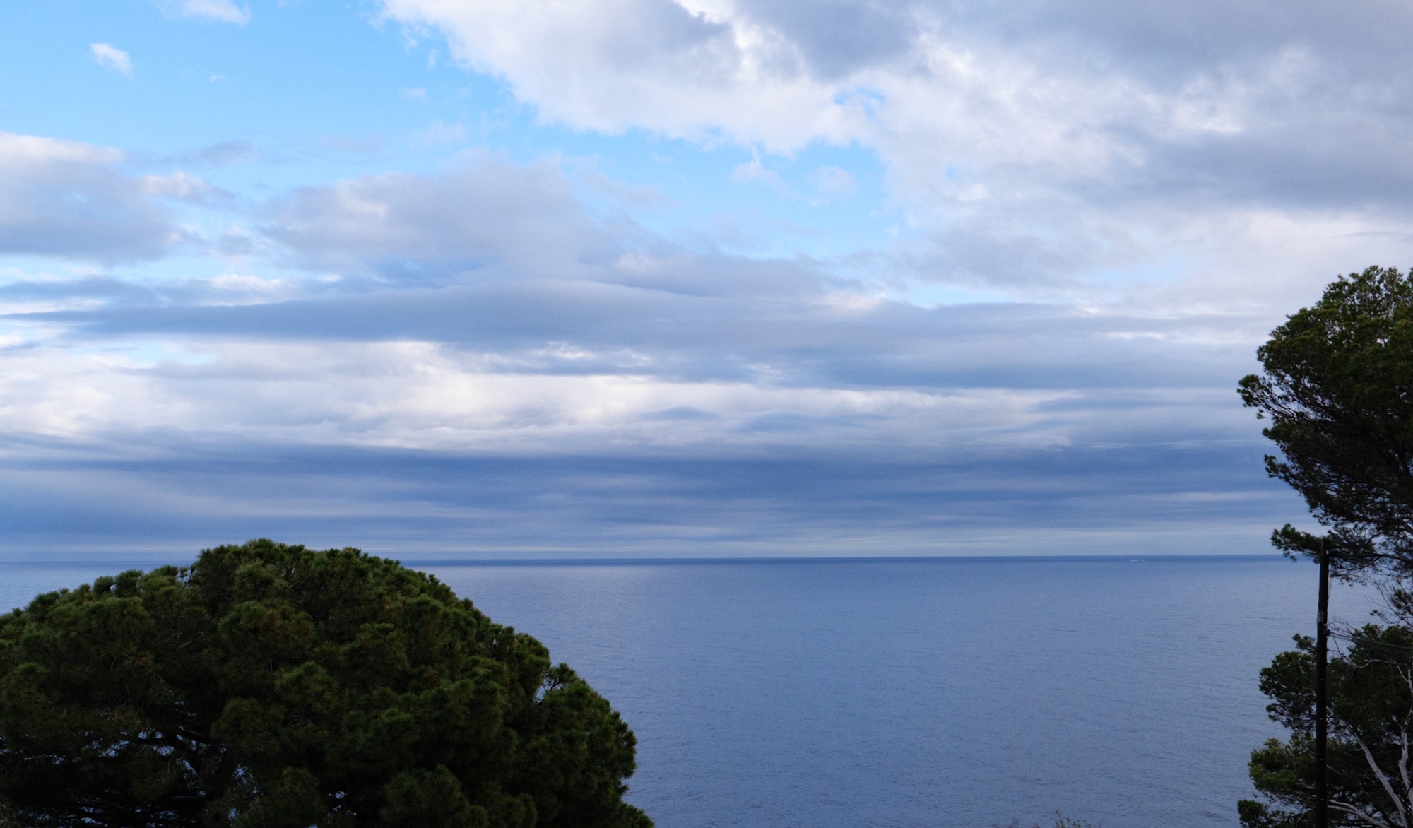
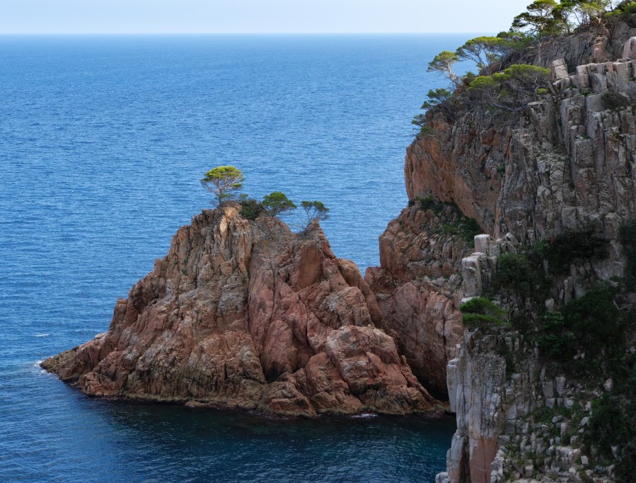
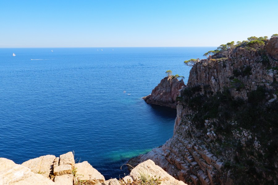
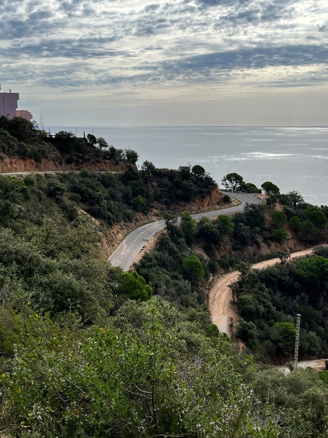
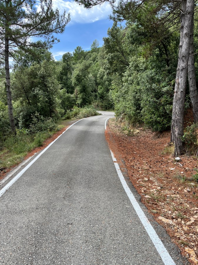
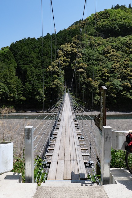
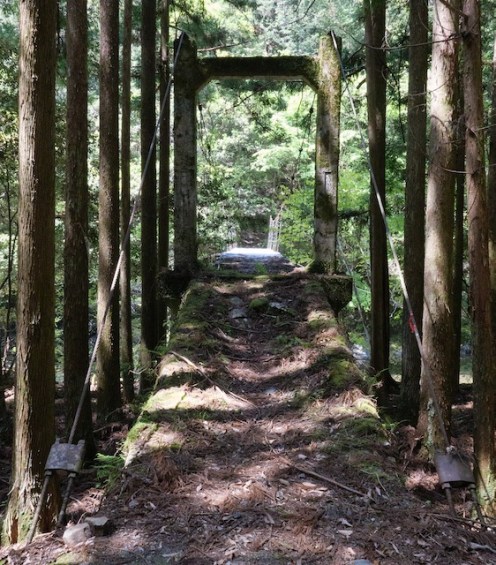
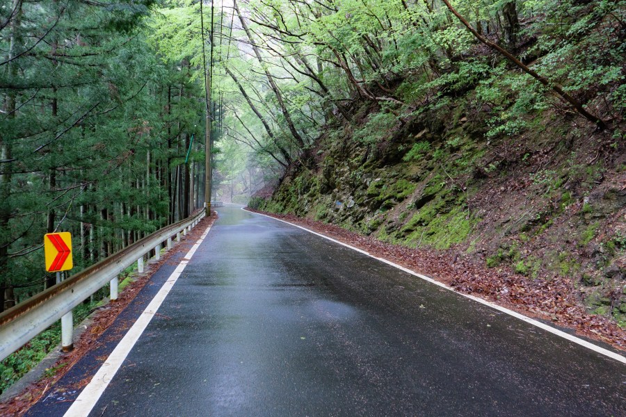
Some of my cycling…